Transportation Industry

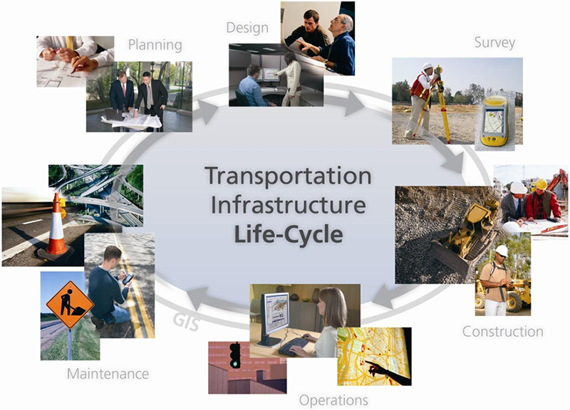
GeoNest serves three distinct needs of the Transportation industry: Infrastructure Management, Logistics and Fleet Management and Mass Transit Management. In addition, GeoNest also provides solutions into Fleet Management and Logistics, and Routing and Scheduling. Specifically, GIS can be used for route planning and analysis, bus dispatch and emergency response, automatic vehicle location and tracking, rail system facility management, accident reporting and analysis, demographic analysis and route restructuring, transportation planning and modeling. Magnasoft has delivered most powerful solutions for all transportation needs.
Digital content is created and updated through a variety of means for all transportation features along highways, railways, bridges, tunnels and public transit. Our solutions improve safety, increase efficiency and predictability of travel time and distance
GeoNest services include:
- Updates Road Maps at city and country level
- Creates Road Centerline Maps for state highway systems and local roads
- Online Tracking of registered assets and management services, user administration, generation of bills and two-way-messaging
- Application for alternate and optimized routing
- Automated tool for updating dynamic traffic flow data
- Querying functionality such as detours for defined road closures
- Development of road information management systems
